From the same company that brought you the “how busy is the bus I’m currently sitting on,” Google is expanding its life-saving features of wildfire detection and flood forecasting tools.
Catch up: Google started using AI to predict floods in 2018, and by 2021 had sent safety alerts to 23 million people in flood-prone India and Bangladesh, per The Verge.
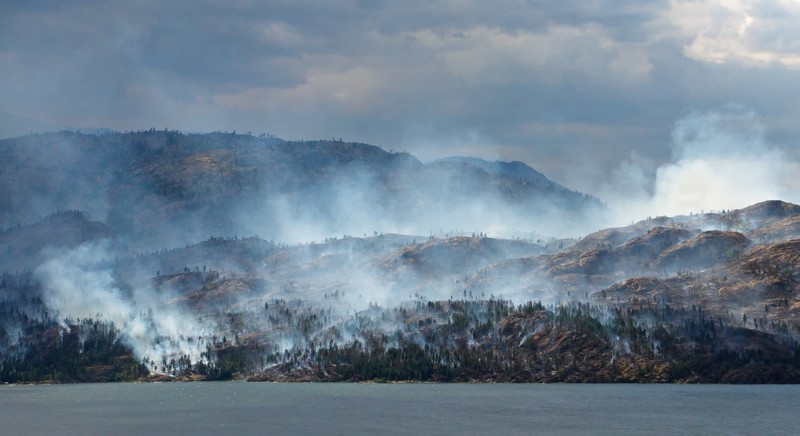
- In 2020, Google also started offering US users a map feature that shows wildfire boundaries in near real-time, which has since been expanded to Canada as well.
- By tapping on a “fire,” a user can see resources from local governments (emergency websites) phone numbers for help and information, and evacuation details.
The latest version of the wildfire warning system will introduce machine learning models trained on satellite data to improve fire tracking and detection in real-time and better predict how they spread.
- The company is also looking to use the same data to identify damaged buildings after all natural disasters to help guide manpower during early response efforts.
Why it matters: As disasters become more frequent and dangerous, half the world currently lacks adequate early warning systems, according to the United Nations. In Canada, flooding is the most common natural disaster, and Natural Resources Canada expects the impacts of climate change will trigger more frequent forest fires in the future.